The Empty Diagonal · Aveyron · Lozère · Cantal · plateau
Aubrac: Grass, Granite, Weather
Aubrac is a high volcanic plateau across Aveyron, Lozère and Cantal: open grass, granite, big skies, Aubrac cattle and pilgrim history.
Filed at
1You will pass a car occasionally.
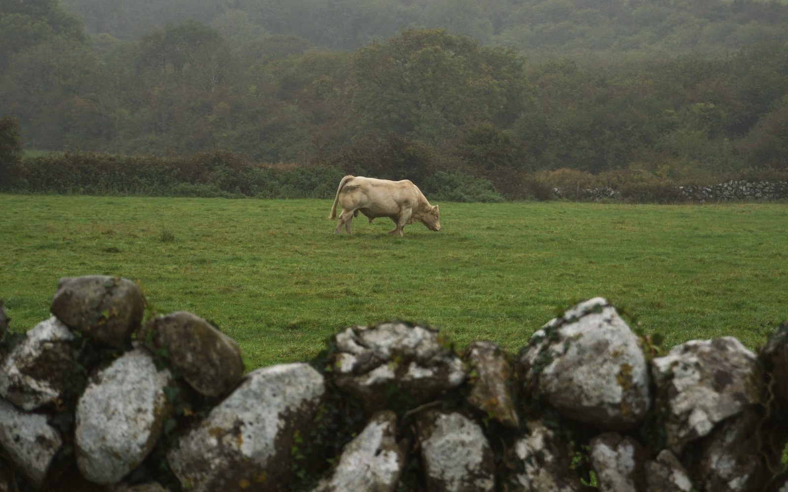
Aubrac is a high volcanic plateau across Aveyron, Lozère and Cantal: open grass, granite, big skies, Aubrac cattle and pilgrim history.
What the Plateau Actually Is
Aubrac is not a mountain range in the way the Alps or Pyrenees are mountain ranges. There are no peaks to orientate yourself by, no drama of ascent and descent. It is an ancient volcanic plateau, worn nearly flat by glaciation, sitting at roughly 1,000 to 1,400 metres across a spread of three departments — Aveyron, Lozère, Cantal — and it gives you something that dramatic mountain scenery frequently withholds: a sense of genuine exposure without the distraction of spectacle. You cannot look at Aubrac and think about anything except what is directly in front of you, which is a very large quantity of sky.
The surface is almost entirely grass — rich, summer-green, wet. The geology beneath is granite and basalt, and it shows in the drystone walls, the roadsides, the small dark boulders that punctuate the grazing land like full stops. The plateau is one of France's major cattle-raising regions; the Aubrac breed, a tawny animal with wide horns and a calm disposition, is so associated with the landscape that seeing one standing in fog beside a granite cross feels less like an agricultural observation than a statement of fact about the place. The transhumance — the seasonal movement of cattle from valley farms up to high summer pasture — still happens here, and the sound of bells across an empty plateau in early June is not picturesque in the lazy tourist sense; it is simply what the place sounds like at that moment.
Villages are small and built almost entirely in stone. Aubrac itself — the village high on the plateau, barely a cluster of buildings around a medieval tower — was a halt for pilgrims on the route to Santiago de Compostela, a function that explains why a place this exposed has a history of habitation at all. It was founded as a hospital-monastery in the twelfth century precisely because the plateau was dangerous to cross alone in winter. That history of difficulty is still legible in the architecture: thick walls, small windows, everything weighted against the weather.
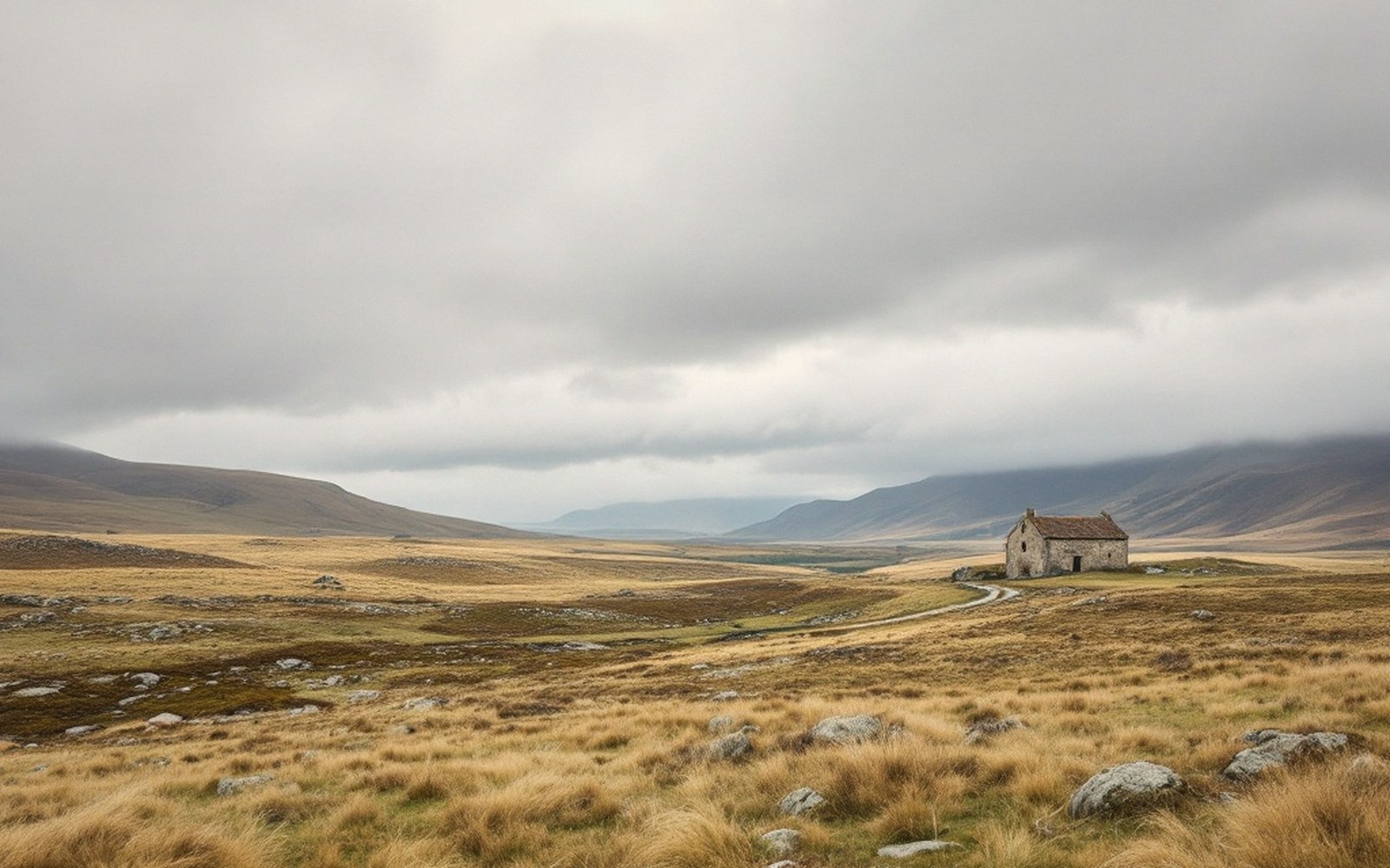
The Light and the Weather
To understand Aubrac is to understand that the weather here is not a background condition. It is structural. The plateau sits at an elevation that catches Atlantic systems long before they reach the Alps, and the fog — called the brume (mist) locally, but often thick enough to justify something stronger — can arrive in a matter of minutes. Walking the plateau in clear June sunshine, you can watch a grey wall advance from the west at walking pace and swallow the landscape in sections. Visibility drops, temperature drops, the sound of bells becomes directional in the suddenly intimate air. It is not threatening if you are prepared for it. It is genuinely instructive if you are not.
Summer is the comfortable season — that is relative — and even then the plateau collects substantial rainfall. Winters are long and can be severe. The roads that cross the high plateau are occasionally closed into April. The reward for visiting outside the July–August window is a near-total absence of other people, a quality of silence that seems to have mass, and a light in September and October that comes in low and nearly horizontal across the grass and makes everything briefly luminous before the cloud reasserts itself. The light on Aubrac is not Mediterranean gold; it is northern, watery, occasionally spectacular in its indifference to the viewer.
The contrast between the exposed plateau and the deeply cut valleys that border it is part of what makes this landscape work. The Truyère to the north and the Lot to the south have carved gorges into the plateau's edges, and dropping from the open grass into those valleys is a physical gear-change — air temperature rises, vegetation thickens, the sky contracts to a strip. Coming back up the other side, the plateau reasserts itself with an abruptness that is slightly startling every time.
The Aubrac plateau at a glance6 entries
- Elevationroughly 1,000 to 1,400 metres across the high plateau
- DepartmentsAubrac spans Aveyron, Lozère, and Cantal
- Terrain typeancient volcanic plateau, glacially flattened, granite and basalt substrate
- Dominant usecattle grazing; the Aubrac breed is native to the plateau
- Key pilgrimage routeGR65 (the Via Podiensis, main French Camino route) crosses the plateau
- Village of Aubracfounded as a twelfth-century hospital-monastery for pilgrims; sits at the plateau's highest point
Moving Through It
The plateau is traversed by the GR65 — the main Camino route through France — and by several variants of the GR6, giving it a well-maintained network of walking paths. The paths are real paths: muddy in wet weather, signed at intervals, crossing farmland and moorland with a practical efficiency that reflects their origin as working routes rather than recreational ones. The presence of pilgrims — and there are always pilgrims, even off-season, moving at walking pace with large packs — is not intrusive. If anything, they are the most appropriate kind of visitor; the plateau has a way of making purposeful, slow movement feel correct.
By road, the D987 between Espalion and Saint-Chély-d'Apcher crosses the plateau at its widest, and there are stretches — particularly between the village of Aubrac and the Col de Bonnecombe — where the road runs through open grass for several kilometres with nothing but sky and cattle visible. Driving it in failing afternoon light in late October, the road almost luminous against the dark pasture, is the kind of experience that is difficult to recommend without sounding overwritten. What can be said simply is this: very few landscapes in France remove the modern world so completely without making you feel that history has been staged for your benefit.
The towns that frame the plateau rather than sit on it — Espalion to the south, Saint-Flour to the northeast — both have their own substance. Saint-Flour, in particular, sits on a volcanic outcrop with a genuinely dramatic lower-town-to-upper-town structure that most of its visitors do not bother to explore properly.
Aligot, the regional dish of mashed potato worked with fresh tome fraîche (a young, unaged cheese) and garlic until it forms long elastic ribbons, is made here and eaten here and tastes different from the same preparation in a city restaurant in ways that are difficult to attribute to a single cause. The elevation, the cattle, the cold — the context is part of it. It is not complicated food. It is food that makes sense in the place where it was made.
Aubrac is not a mountain range in the way the Alps or Pyrenees are mountain ranges.
Why It Gets Skipped
The empty diagonal of France — the band of low-density territory running roughly from the Meuse in the northeast to the Pyrenean foothills in the southwest — contains most of what is genuinely surprising about the country, and Aubrac sits near its middle. It gets skipped for the usual reasons: it does not have a single famous thing; it is not on the way to anywhere better known; its appeal is constituted from qualities — silence, exposure, a certain monotony of surface that rewards patience — that do not compress well into a photograph.
The photographs tend to show cows in fog, which is accurate but insufficient. What they cannot show is the cumulative effect of an hour on the plateau in changing weather, the way the scale of the sky recalibrates something in the attention, or the specific quality of emptiness here that is not desolation — the plateau supports farmers, a handful of villages, seasonal visitors, a long-haul pilgrim route — but is simply underpopulated enough that the land reads as land rather than as backdrop.
That is, in the end, the most honest thing to say about Aubrac: it is a place where the land is still the main subject, and where the visitor is still a visitor rather than the protagonist. Not many places in Western Europe can still offer that without effort.