The Empty Diagonal · Ardennes to the Pyrenees · the line
The Empty Diagonal Is a Real Line, Not a Mood
The diagonale du vide is a real geographic feature — a band of chronically low population density crossing France from the Ardennes to the Pyrenees. Here is what it is, where it goes, and why it reframes how you travel the interior.
Filed at
1You will pass a car occasionally.
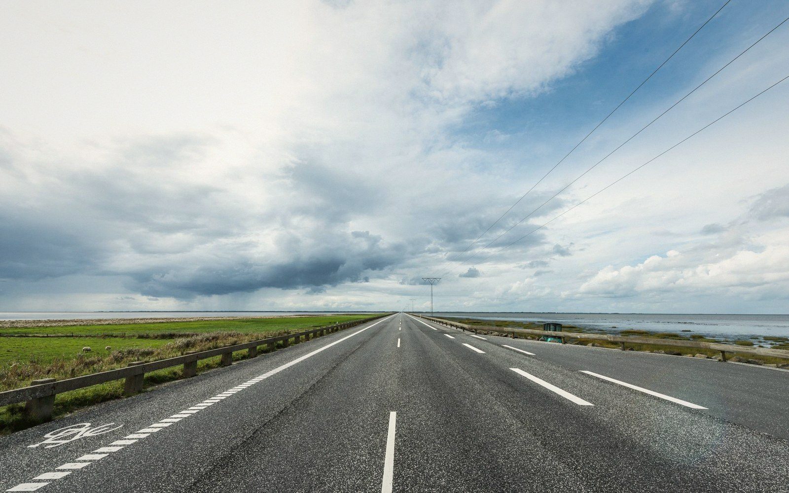
The diagonale du vide is a real geographic feature — a band of chronically low population density crossing France from the Ardennes to the Pyrenees. Here is what it is, where it goes, and why it reframes how you travel the interior.
What the demographers actually found
The term diagonale du vide — the empty diagonal — entered the academic record in the 1980s when French geographer Roger Béteille gave a name to something mapmakers had been watching for over a century. Draw a line from the northeastern edge of France, somewhere around the Ardennes, southwest to the foothills of the Pyrenees near the Atlantic, and you pass through a continuous band of territory where the population density drops below, and often well below, thirty inhabitants per square kilometre. On a European scale that is extraordinary. This is not wilderness — it is farmed, grazed, and inhabited — but it is inhabited by almost nobody. The same band that runs through the Meuse, the Haute-Marne, the northern Auvergne plateau, the Cantal, the Lot, the Aveyron, and the Gers has been losing people steadily since the mid-nineteenth century, when rural exodus and agricultural consolidation began hollowing out the interior of the country.
The phenomenon is structural, not temporary. The land is not recovering. Some of the departments that fall inside the diagonal have populations smaller than they were in 1800, and the demographic trend line has not reversed. This distinguishes the diagonale from the ordinary quietness of, say, a mountain resort in the off-season. It is not a seasonal effect and it is not a matter of taste. The data shows it.
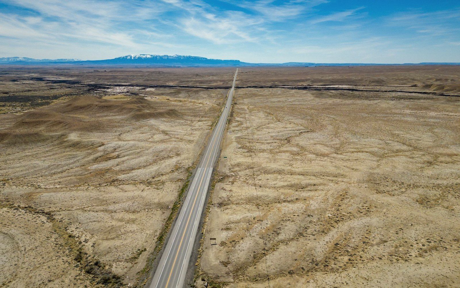
Where the line runs and what you find there
The diagonal is not a knife-edge border: it is a band, perhaps two hundred kilometres wide at its middle, and its edges blur. But the rough corridor is traceable. It enters France in the north through the forests and agricultural plains of the Meuse valley, where small cathedral towns sit in a silence that seems disproportionate to their stone ambition. It deepens as it crosses the plateau country of the Haute-Loire and the volcanic upland of the Auvergne. By the time it reaches the Aubrac plateau it is at its most austere: granite, wind, cattle with wide horns, and villages where the bar and the pharmacy are the same building. The Causses — the high limestone plateaux of the Aveyron and Lozère — extend the emptiness further south, interrupted only by the gorges that cut through them. The Causse Méjean, the highest of them, averages around one inhabitant per square kilometre. That is not a typo.
Further southwest the band softens into the rolling hills of the Gers and the Lot-et-Garonne, where sunflower fields and duck farms give the emptiness a more bucolic register. The landscape becomes more gentle. The absence becomes more comfortable. But the demographic reality is the same: a very large piece of France that most French people do not live in, and that most visitors therefore never see.
The towns inside the diagonal are often administrative centres — sous-préfectures, market towns — punching above their population weight in institutions: hospitals, courthouses, lycées, cathedral churches built for congregations that have long since dispersed. Saint-Flour is a good example. So is Mende. So is Aurillac. They are not failing places, but they are quiet in a way that takes adjustment if you arrive from Paris or Lyon.
The numbersbehind the emptiness
- Thirty inhabitants per square kilometre isthe threshold figure that defines the band.
- On the Causse Méjean the density falls to roughly one inhabitant per square kilometre, a stark contrast with that threshold.
Why it matters as a frame for travel
Knowing the diagonale exists changes what you expect from a journey through the interior, and therefore changes how well or badly that journey goes. Travellers who arrive with coastal-France expectations — crowded markets, restaurant queues, a village animated by tourism — will find the middle of France baffling and thin. Travellers who understand what they are entering will find it one of the most genuinely particular landscapes in western Europe: enormous, architecturally coherent in its own vernacular, and almost entirely free of the soft infrastructure of mass tourism.
The practical consequences are real. Petrol stations are sparse. A road through the Margeride or across the Cévennes will not yield a café every ten kilometres. Villages with a church, a war memorial, and sixteen residents are not staging areas for visitors; they are what remains of something older. The traveller who treats them as such — who stops not because there is a sight to see but because the place is simply there, and deserves a few minutes of attention — will find more than the person who keeps driving toward the next dot on a map.
The diagonale du vide is also a corrective to the idea that France is primarily its coastline and its famous cities. More than a third of the country's surface area falls roughly within its band. That is not marginal. It is the country's interior; it is what lies between the places that get the photographs. And travelling it honestly — slowly, without a schedule built around highlights — is a different kind of trip than the one most guides propose. Not better, not worse. But real in a way that resists reduction to an itinerary.
It deepens as it crosses the plateau country of the Haute-Loire and the volcanic upland of the Auvergne.
- Ardennes / Meuse (north entry)
Haute-Loire and Auvergne plateau — Aubrac — Causses (Aveyron / Lozère) — Gers and Lot-et-Garonne (southwest exit)
- Worth a simple linear treatment in design
not a map, just the named stages in order