The Empty Diagonal · Lozère · causse
A Departmental Road on the Causse Méjean
Filed at
0Bring fuel and a spare plan.
The flattest high ground in France
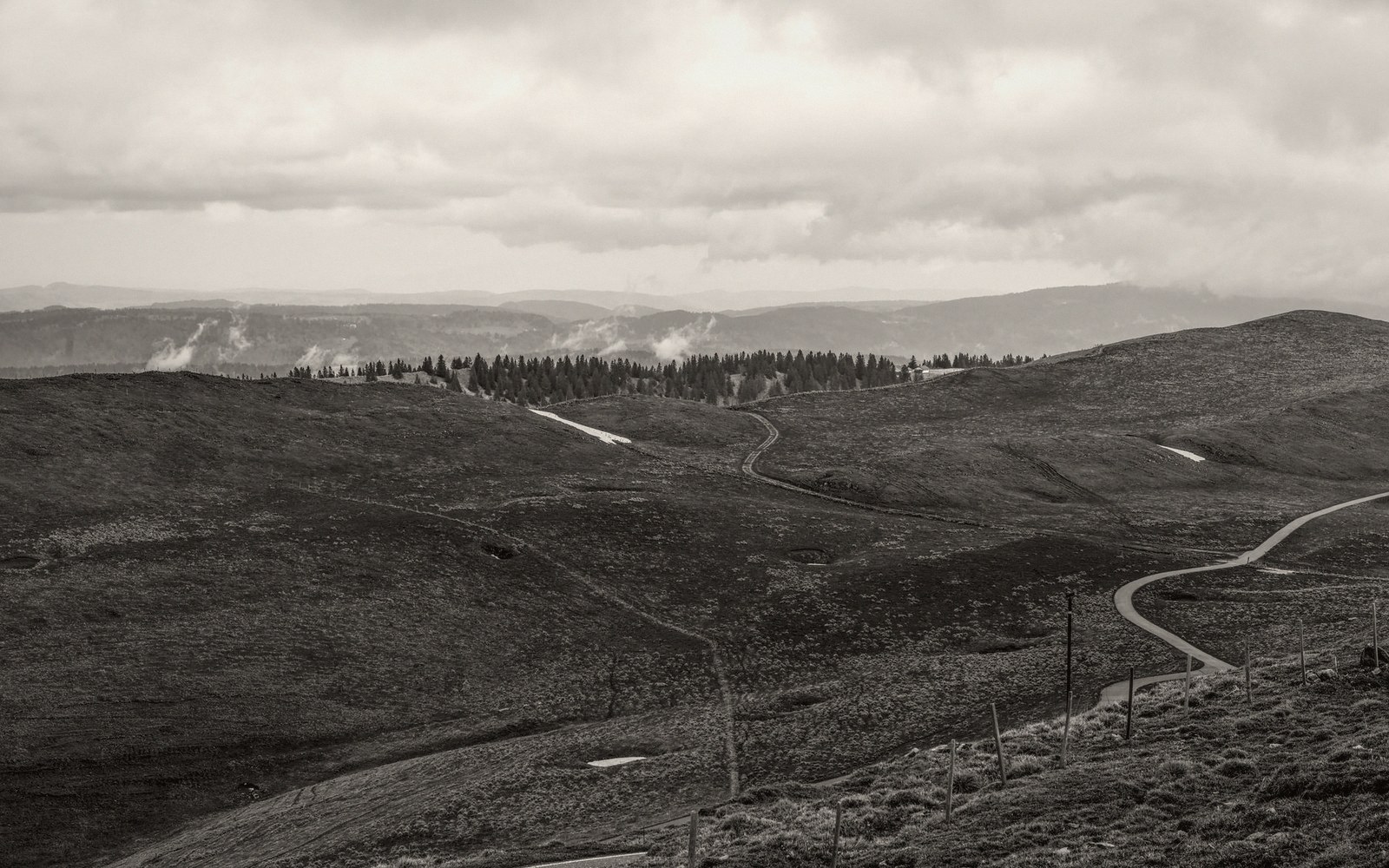
The Causse Méjean sits at roughly nine hundred metres above sea level and goes almost nowhere for thirty kilometres. No valley breaks the skyline. No town interrupts the road. It is the highest of the Grands Causses — the limestone plateaux that fill the southern Massif Central between the Lot and the Hérault — and the most consistently emptied-out, a place where the horizon is as close to unobstructed as France gets outside the high Alps in winter.
Most people who cross it do so by accident, threading between Florac and Millau on a day when they should have taken the faster road and didn't. That is exactly the right way to arrive.
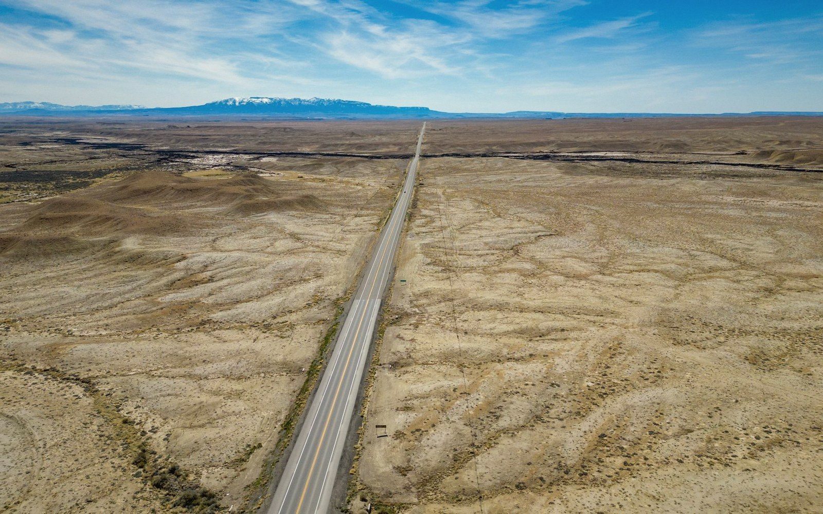
The departmental road in question is the D16, which cuts east to west from the edge of the Cévennes escarpment above Florac across the full breadth of the causse — the plateau — to the cliff edge above the Gorges du Tarn. There is one village of any size partway along. Everything else is limestone, short grass, sky, and a wind that arrives without warning even in June.
What the road actually shows you
Leave Florac going north and the road climbs fast through beech and chestnut, the valley dropping behind you in a series of bends that feel like a gear change rather than a journey. Then the trees stop. The plateau arrives with the abruptness of a door opening: the road levels, the grass begins, and the sky doubles.
The surface underfoot — where there is any soil at all — is thin and pale. The limestone shows through constantly, either as open rock shelving out of the ground or as the low dry-stone walls called cazelles that define fields no longer farmed. The causse was never easy agriculture. What you see now is the end result of a long, slow withdrawal, and the emptiness is honest rather than tragic — it simply is what the land became when the demand for its produce fell away.
The first thing travellers notice is the cattle. The Méjean's signature breed is the Aubrac, the same rust-coloured animal that gives its name to the plateau to the north — large, calm, unfazed by a slow-moving car. They stand in the road regularly. The custom is to wait. The cattle, eventually, decide to move.
Meyrueis is the only town the D16 approaches with any weight, though the road actually runs a few kilometres to the south and Meyrueis itself sits in the gorge below. The causse gives you its back. What you get instead, continuing east, is the Mas de l'Air weather station on the plateau edge and, a little further on, the turning for Nivoliers — a hamlet of perhaps four inhabited houses and a barn that has been waiting for a repair since before you were born.
The road near Nivoliers passes the entrance track to the Aven Armand, a cave system discovered in 1897 whose interior holds one of the largest collections of stalagmites in Europe. Most drivers stop here. It is worth knowing that the cave tour is worthwhile on its own terms, not just as a relief from the wind — but the landscape above ground tells a different, slower story, and the temptation to spend all the time underground is one to resist.
The eastern edge of the Causse Méjean is the rim above the Gorges du Tarn. Pull over anywhere near the lip and you are standing above a canyon that drops three hundred metres to the river. The Gorges du Tarn run for fifty kilometres below you, and from this height the village rooftops look geological rather than built. The contrast between what you have just crossed — the long horizontal, the absolute silence at the road's edge, the sense of altitude without drama — and what lies below the cliff is the point the Méjean has been building to all along.
What the landscape is made of4 entries
- causselimestone plateau; the term covers several named plateaux in the southern Massif Central
- cazellelow dry-stone enclosure or shelter, a common feature of causse landscapes; also spelled capitelle in some areas
- Grands Caussesthe group of high plateaux (Méjean, Noir, Sauveterre, Larzac) between the Lot and the Hérault rivers
- diagonale du videdocumented geographic zone of low population density crossing France from northeast to southwest
Why the horizontal matters
A plateau is not a summit. There is no achievement in arriving on one, and it refuses to perform. The Causse Méjean offers nothing to reward effort except the landscape itself, which is severe and repetitive and, once you have adjusted to it, genuinely beautiful in the manner of things that ask nothing of you.
What the D16 across the Méjean gives you — and this is not available at speed on the A75 to the south — is duration. The plateau is wide enough that you spend real time inside it. The grass, the limestone outcrops, the abandoned cazelles, the Aubrac cattle, the particular quality of light that comes off pale rock at mid-afternoon: these accumulate. By the time the gorge edge arrives, you have earned the surprise.
The diagonale du vide — the documented band of low population density running from the northeast to the southwest of France — passes directly through here. The Causse Méjean is one of its densest absences, and the D16 is the kind of road it produces: functional, unhurried, built for the people who live there rather than for those passing through, and all the better for it.
The eastern edge of the Causse Méjean is the rim above the Gorges du Tarn.
Sequence of the driveIn sequence
- Florac (western foot)
climb through beech and chestnut, then the plateau opens
- D16 central section
open limestone, cazelles, Aubrac cattle, unobstructed horizon
- Nivoliers area
hamlet, Aven Armand cave entrance, plateau at its widest
- Eastern rim
cliff edge above the Gorges du Tarn, three-hundred-metre drop to the river