The Coast · Gironde · coast
Pilat: The Dune at Its Actual Size
The photographs always lie in the same direction: they make the Dune du Pilat look manageable.
Filed at
7Busy — ten minutes of walking gets you out of it.
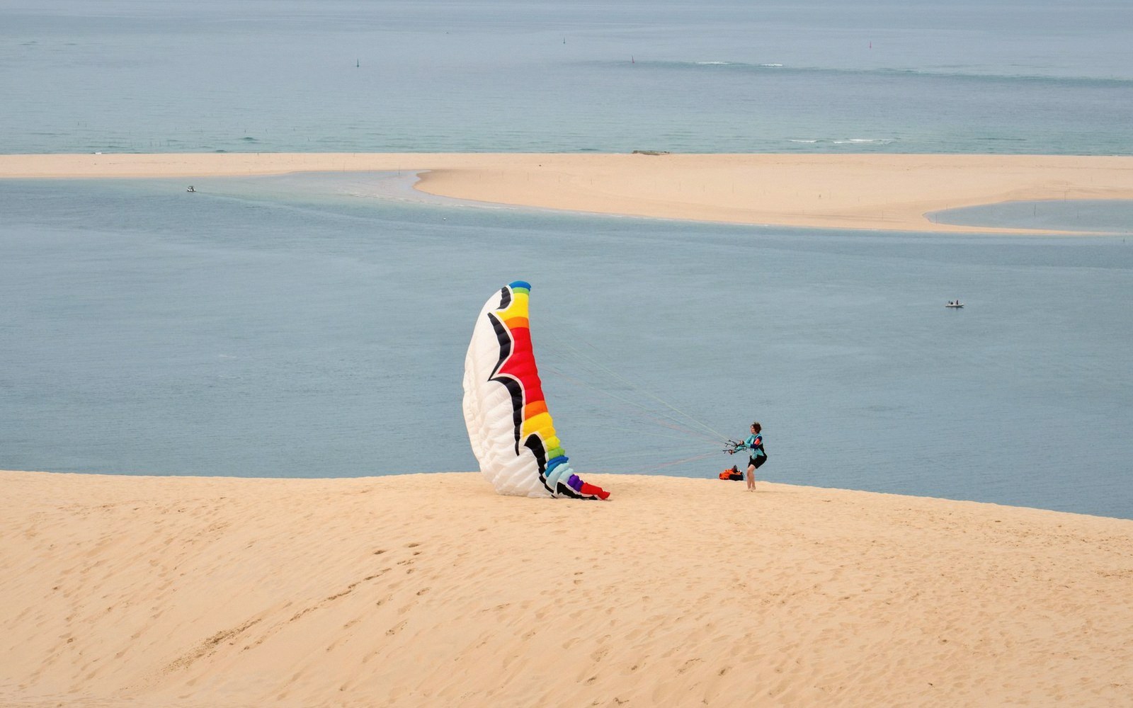
The photographs always lie in the same direction: they make the Dune du Pilat look manageable.
What you are actually climbing
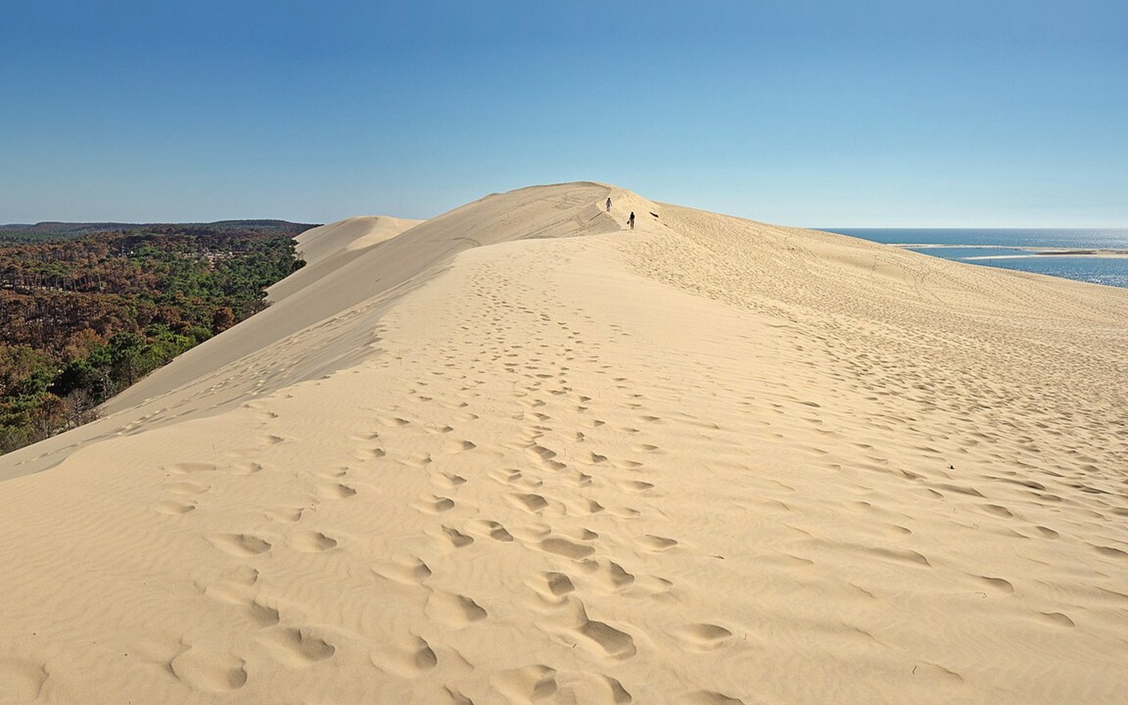
The Dune du Pilat, anchored at the southern end of the Arcachon Basin, is the tallest sand dune in Europe — roughly 100 metres high, around 500 metres wide, and close to three kilometres from end to end, though the precise dimensions shift year on year because the dune is still moving. It migrates eastward into the pine forest at a rate of several metres annually, swallowing trees at its back edge while its seaward face drops cleanly into the Atlantic. The buried trunks visible in cross-section along that western wall are not staging — they are the forest the dune has eaten.
The approach from the D218 through the Landes pine plantation gives nothing away. The car parks sit behind a screen of trees and a strip of low commercial development; you arrive with no sense of the scale waiting beyond it. A wooden staircase of several hundred steps runs up the landward face. The staircase is steep but it is not the problem. The problem is the descent on the other side: the seaward drop is sheer, the sand is loose, and your feet sink to the ankle with every step. Coming back up from the beach takes considerably longer than going down.
At the summit, the geometry finally becomes legible. To the west, open Atlantic. To the south, the Landes forest extending flat to the horizon. Across the inlet to the north, Cap Ferret's narrow spit, with the Arcachon Basin behind it. The dune reads here as a geomorphological event, a product of long-shore drift and prevailing westerlies working on sediment deposited over millennia — not a scenic attraction that happens to be sandy, but an active landform doing what active landforms do.
A few practical notes that photographs also omit: the surface temperature of dry sand in summer sun makes the walk across the crest physically punishing without footwear. The crowds at the base of the staircase in high summer are substantial. The dune is worth seeing, but it is worth seeing in the shoulder months — May, early June, September — when the scale reads clearly and the experience is not spent edging around other people on a surface the width of a country lane.
The dune does not need overselling. At full scale, in decent light, with the forest cut off behind and the Atlantic ahead, it is one of the most disorienting landforms in France. That is sufficient.
Scale and movement4 entries
- Pilat's heightroughly 100 metres, the tallest sand dune in Europe
- Widthapproximately 500 metres; length — close to 3 kilometres
- Eastward migration rateseveral metres per year
- Buried forest visible in the western faceevidence of active dune advance
The approach from the D218 through the Landes pine plantation gives nothing away.